Google Geo Chart (PAID)
Google Geo Chart is a visualization tool provided by Google Charts.
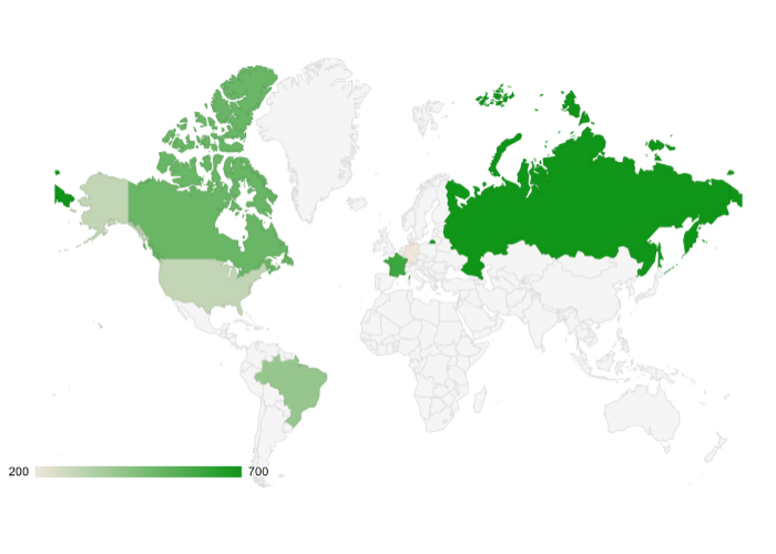
The Geo Chart specifically is designed to display geographical data on a map. It allows users to visualize data by region, such as countries, regions within a country, or even specific locations like cities.
The Geo Chart specifically is designed to display geographical data on a map. It allows users to visualize data by region, such as countries, regions within a country, or even specific locations like cities.
Demo
https://wysiwygwebbuilder.com/support/demos/googlegeochart.html
Download demo version (save disabled)
Google Geo Chart Extension
Requirements:
WYSIWYG Web Builder 16 or higher
https://wysiwygwebbuilder.com/support/demos/googlegeochart.html
Download demo version (save disabled)
Google Geo Chart Extension
Requirements:
WYSIWYG Web Builder 16 or higher
Buy full version via 2checkout for $4.95
https://secure.2checkout.com/order/checkout.php?PRODS=46072852
https://secure.2checkout.com/order/checkout.php?PRODS=46072852
EXTENSIONS BUNDLE DISCOUNT
This extension is also part of the Data Extensions Pack 5 which includes 10 extensions for only $29.95!
This extension is also part of the Data Extensions Pack 5 which includes 10 extensions for only $29.95!